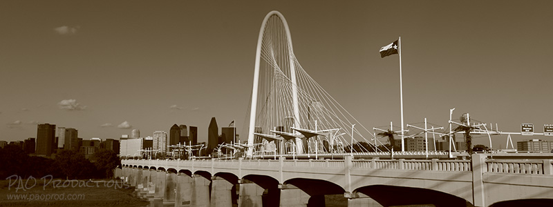

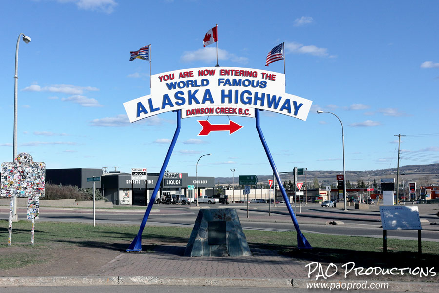
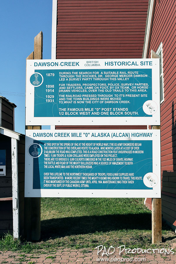
The Alaska Highway officially begins in Dawson Creek, British Columbia, about six hours by car from Edmonton. At this point in the trip, the entire journey will have been via paved, well-maintained roadway with the benefits of cell coverage and reliable GPS. Dawson Creek is at the historic "Mile Zero" of the highway, and the location of a visitors' center where you can obtain information about the route and the history behind it. During my stopover for some photos, I encountered a married couple whose car had Virginia plates, and we struck up a conversation. Like me, they were on their way up to Alaska; unlike me, they were on the final leg of a full relocation from their home state to Alaska, their furniture and other possessions having already been sent ahead. Travelers to Alaska are fairly common in Dawson Creek, so don't be surprised if you run into some while you're starting out.
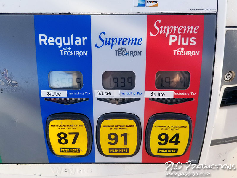
The initial portion of the drive is pretty straightforward. The highway narrows to a two lane roadway, passing through the small community of Taylor, BC about 50 kilometers from Dawson Creek and the larger Fort St. John about 15 kilometers from Taylor. While there will be other places to stop overnight along the way, these communities provide the last real chance for quite a whle to do so in a populous area with ready access to creature comforts such as banks and fast food. It might not be a bad idea to stop for gas at this point if you didn't do it in Dawson Creek, as fuel prices are going to get higher along the way.
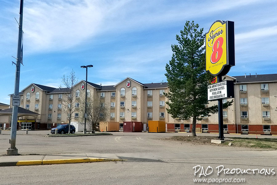
Your best bet for an overnight stop is Fort Nelson, which is where I recommend ending your first day on the highway. Fort Nelson is about 450 kilometers from Dawson's Creek, and offers a good selection of lodgings, some of which are family owned and operated and a few of which are corporate chains. Just be careful, because Fort Nelson isn't one of those communities where everything stays open late. You need to be aware of the office hours if you choose one of the family owned places, as they may not wait up for you even if you were forward-thinking enough to book a room in advance. In my case, I missed the arrival window for the place I'd booked by thirty minutes, the office was closed with no emergency number to call and no means of getting checked in, and I was forced to get a room at the nearby Super 8 motel. The clerk there told me the people running the motel I was supposed to have stayed at "don't wait for anyone." I was issued a refund the next day, but this served as a warning about dealing with innkeepers in more remote areas – they hold the power.
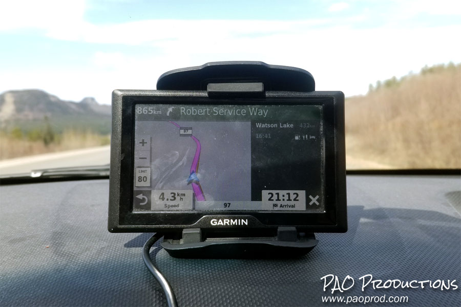
Fort Nelson is a small community extending only about two kilometers along the highway, but it represents the last significant outpost for city comforts you'll see for close to 1,000 kilometers. If you haven't felt it already, it is at this point that the sheer audacity of the road trip is likely to hit you. I strongly recommend you invest in a standalone, mounted GPS device such as a Garmin or a TomTom rather than relying on your smartphone. Aside from the obvious privacy and data collection concerns that come with using a smartphone, there's also the strong possibility of finding yourself completely without a cell signal for either phone service or navigation along the more remote areas of the Alaska Highway route that are ahead. You might assume that staying on the main highway without deviation will alleviate some of these concerns; while this is technically correct to some extent, there are other things to consider such as the possibility of closed roadway and detours. More than 300 kilometers of the Alaska Highway were closed due to wildfires on my return trip to Texas, including an evacuation of the entire Fort Nelson area, and I needed to plan a detour in order to make my way back. And during the entirety of my trip, I experienced more than one several-hour-long dead zones where I had no cell or data signal whatsoever. The risk is real, and it shouldn't be brushed off. A standalone, mounted GPS can connect to navigation satellites in areas where lack of cell coverage renders a smartphone little more than a fancy pocket camera with a touchscreen.
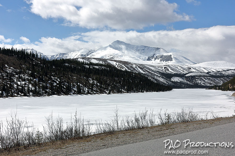
By this part of the trip – if you were wise enough to travel at the right time of year – you're going to notice that the daylight hours have lengthened. When I passed through Fort Nelson in early May of 2024, the daylight persisted until well past 10 PM and it didn't get really dark until around 11:30. I didn't even turn on my headlights until about 10:30. By June, the daylight hours will extend for even longer. If you're traveling during the late spring or during the summer (as you should be), this will be of great benefit since it extends the number of viable travel hours per day considerably. You really don't want to drive remote stretches of highway late at night. The famous mountain scenery will make its appearance, and along with it will come the absence of highway shoulders and long distances between fuel stations. My car gets over 40 miles per (U.S.) gallon on the highway, but the 200 mile gap between gas stations that I experienced before arrival in Fort Nelson was sobering.
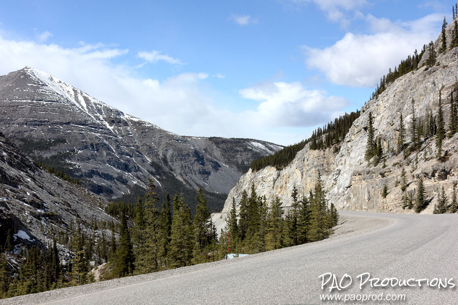
For the most part, hazardous stretches of roadway through the mountains that are lacking a guardrail are not a concern, so there's not too much need to worry about going over the edge. There was one area, however, where I did encounter a pretty harrowing curve, and it was about 144 kilometers outside Fort Nelson. The curve was blind, permitting no ability to see any oncoming vehicle from the other side, and there was no guardrail on the edge of the drop-off. A perusal of Google Street View images suggests that this missing section of guardrail existed at some point, so perhaps it will be (or already has been) reintroduced. Unfortunately, I don't know that road improvements are common in these parts, so I recommend proceeding with extreme caution. You should also be wary of wildlife.
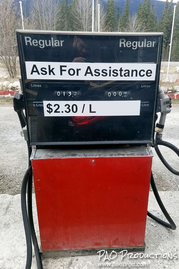
By now you will have noticed the lack of pavement off the main highway route, and possibly the first real disappearance of cell phone connectivity if you use an American carrier. Normally, when I'm in Canada my phone typically connects to either the Rogers or the Telus networks, but it was around this segment of the road trip that I began experiencing my first real loss of network connection. It's not likely to get better from here, at least not outside larger population centers, and you're going to be dealing with gravel roadways if you need to turn off the main route for gas or for a rest stop. You're also going to start seeing a steep uptick in gas prices as you pass through more rural and remote areas.
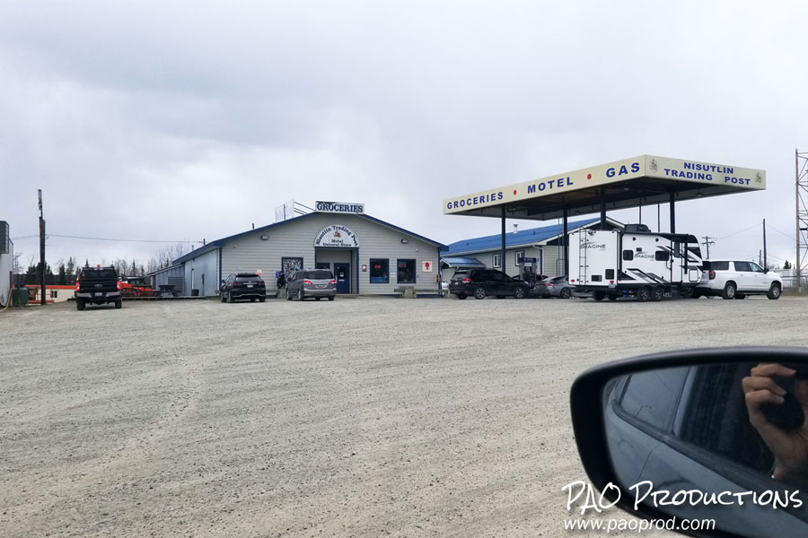
There will be scattered places to stop overnight, though few and far between; that said, if you're traveling during the busy season and/or trying to get a room late in the day I wouldn't count on them being available. I'm not saying they won't be, just that I'd consider planning ahead if for some reason you don't want to go all the way to Whitehorse. As a general rule, I suggest getting an early start each day of the trip, which will be easy to do when the sun is up during the 4 or 5 AM hours. If you get a later start, the late hours of daylight during the late spring and summer will work to your benefit for safely covering ground. I did see considerably more potential stops for RV travelers to hook up their vehicles than motels for automobile travelers, and the motels I did see were small outfits with capacity for a very limited number of guests, generally connected to trading posts and gas station pit stops. Some of these stops offered souvenirs or even showers for a fee. Stops offering rooms may have requirements you need to be aware of, such as room availability only after closing or payment due on the morning of the stay.
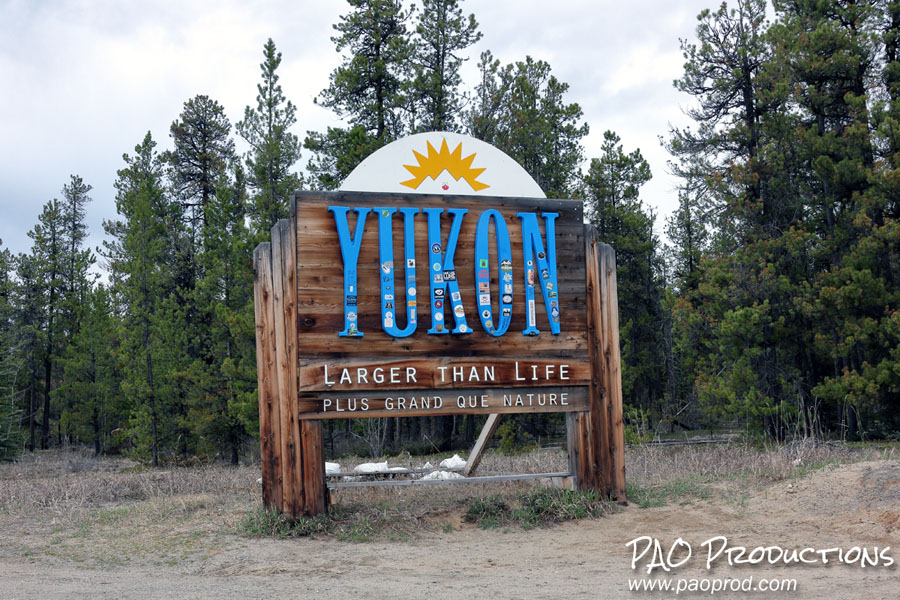
The route of the Alaska Highway snakes and curves in keeping with the terrain, jutting into the Yukon Territory and returning to far northern British Columbia twice before settling into the Yukon for good near Morley Lake. The official Yukon welcome sign is just north of the 60th parallel, at the Lucky Lake Recreation Area.
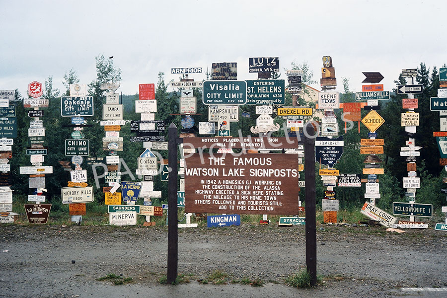
Once you make it to the Yukon Territory, you enter the most remote phase of the journey, at least in Canada. Gas stations will continue to be relatively few and far between, roadways will be mostly gravel within the isolated communities through which you pass, and there's not going to be much to stop for as far as points of interest for the next 400+ kilometers... with one major exception. About nine kilometers beyond the welcome sign, you will encounter the town of Watson Lake and the Signpost Forest, a large assemblage of street, highway, and city signs from across Canada and the U.S. that is famous for its location along the Alaska Highway. It might be worth it to stop here for a bit if the weather permits. On my trip through, the weather was dreary and I opted to defer a closer look to my return trip; unfortunately, the aforementioned wildfires had the final say and I ended up having to detour away from the area. I'm including here an image from my vintage photo collection capturing the attraction as it looked in 1977; the site is of course considerably more impressive today.
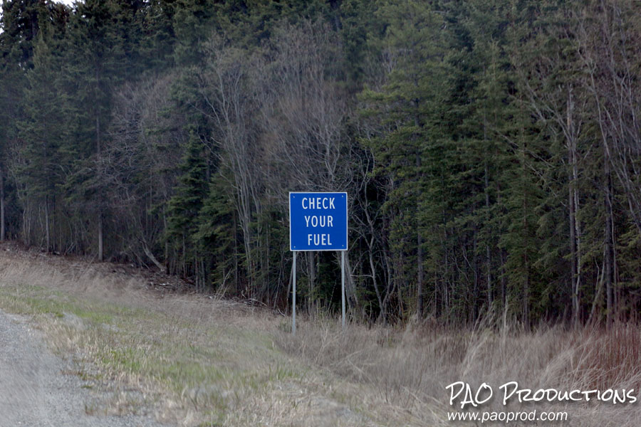
There are a few things to keep in mind while traveling the Yukon portion of the highway. Pay attention to any signs you see warning you to check your fuel, especially if you're in a less fuel efficient vehicle, as you may want to consider turning back and visiting the nearby gas station. There was one point during my trip where the sight of one of these signs convinced me to go back and top off my tank once I made the calculation that trying to make it to the next known fuel stop would be cutting things way too close. Stop at every available gas station and don't be above taking along an approved gas can as well, just in case. These stations can and do run out of fuel sometimes, and this probably isn't a region where you should expect frequent visits from refueling trucks. You'll also find that diesel fuel runs considerably cheaper than regular unleaded all throughout this region. Remember that gas stations are not super abundant out here and that it's entirely possible for them to run out of just unleaded gasoline. I also suggest not holding out for premium or super unleaded grades, because not all rural/remote stations will be so accommodating. And be aware that many do not have credit card readers at the pump, meaning you will not be able to purchase gas outside of operating hours.
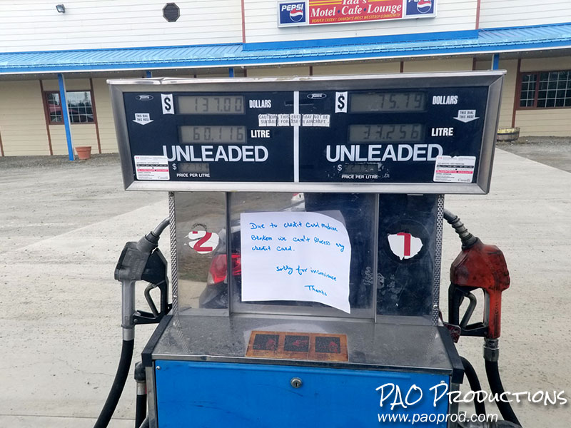
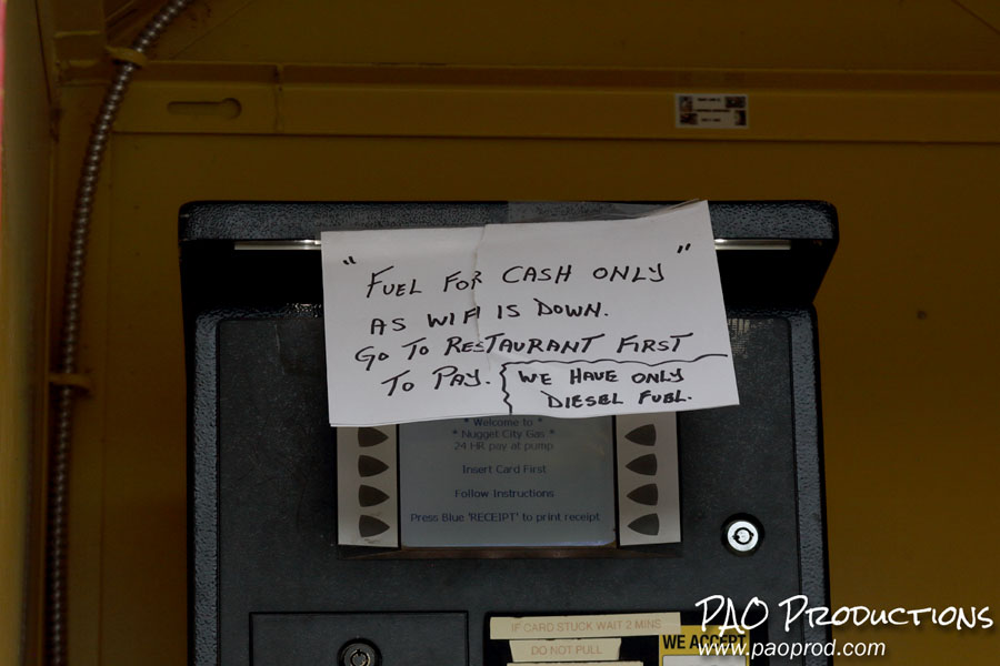
Don't take an electric car. While electric car charging stations do exist along the Alaska Highway, I don't remember seeing any outside of Dawson Creek until I was approaching Whitehorse. In my opinion, it would be extremely foolhardy to attempt this entire drive in a fully electric powered vehicle, at least as of the time of this writing. Make sure to bring along a portable jump starter (not just a set of jumper cables), in case of emergency. If for some reason your battery gives you problems, it would be better not to have to wait for a good Samaritan to help since other motorists can be very few in number in the most remote areas. RCMP officers do patrol the route, but it could be a long wait if you have to rely on them.
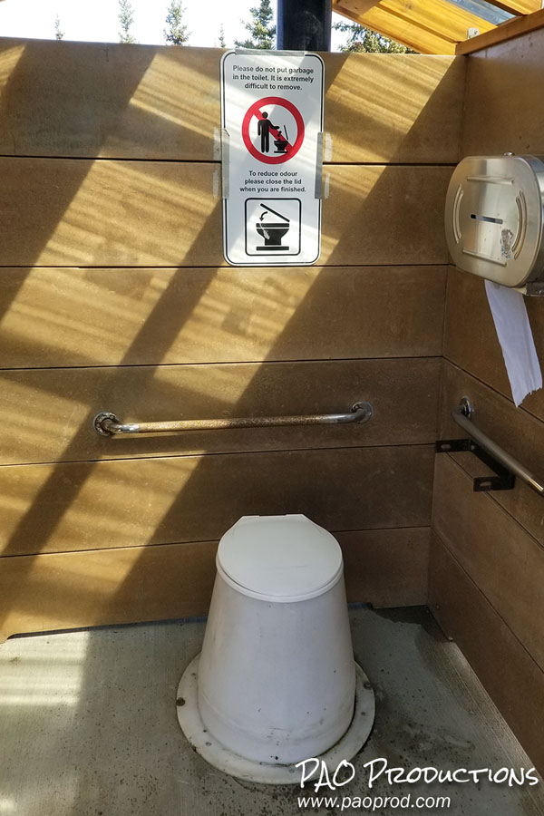
Expect rest stops and rest areas to be bare bones. I've traveled to (as of this writing) 49 of the 50 states and ten Canadian provinces/territories, and have seen rest areas ranging from well patrolled, elaborate complexes boasting food courts, gift shops, and travel materials to very minimalist structures consisting of little more than bathrooms and parking spaces. Along this portion of the Alaska Highway (and also in remote northern British Columbia), you should expect little more than a short gravel turn-off and an outhouse, and possibly some local informational signs if you're lucky.
Finally, don't plan too tightly. Leave some flexibility in your itinerary in case of unexpected events. Even as late as May, you can still encounter snow flurries, and if you haven't planned your travel times and stops properly, this has the potential to make life very difficult if a slick roadway freezes overnight. Leave early in the day to allow plenty of travel time, and be mindful of the weather forecast. Mother Nature is known to be capricious in these parts and things can easily change from day to day regardless of what the weatherman or weatherwoman predicts. Keep in mind that the distances between viable pit stops are long, the route remote, and the option of detouring somewhere to stop for the night generally unavailable. Once you leave Fort Nelson or Whitehorse, you have maybe 100 kilometers or so before you have to make a final decision to commit to the day's drive or to turn back. The first time I tried departing Whitehorse for the U.S. border, I ended up turning back after it started snowing. Remember that along the route you are not back home in the Lower 48 or in a heavily populated region. Help can take a long time to arrive, and that's assuming you even have a cell phone signal with which to make an emergency call.
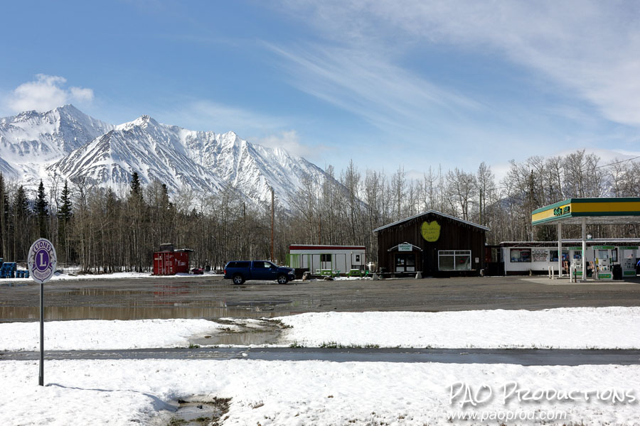
Once you make it to Whitehorse and stop for the night, expect to be asked whether you're going to Fairbanks or to Anchorage, as these are the only two destinations anyone is assumed to be headed to. Whitehorse offers many options for travelers needing an overnight stay, from independently run "backpackers' inns" to fancier hotels. Unaccompanied travelers may find the backpacker lodgings to be a more viable option than those traveling in pairs. Be aware that these hostel variants are likely to be inside someone's house and will thus require certain "house rules" be followed which may be inconvenient, such as no shoes indoors or luggage having to remain in the car.
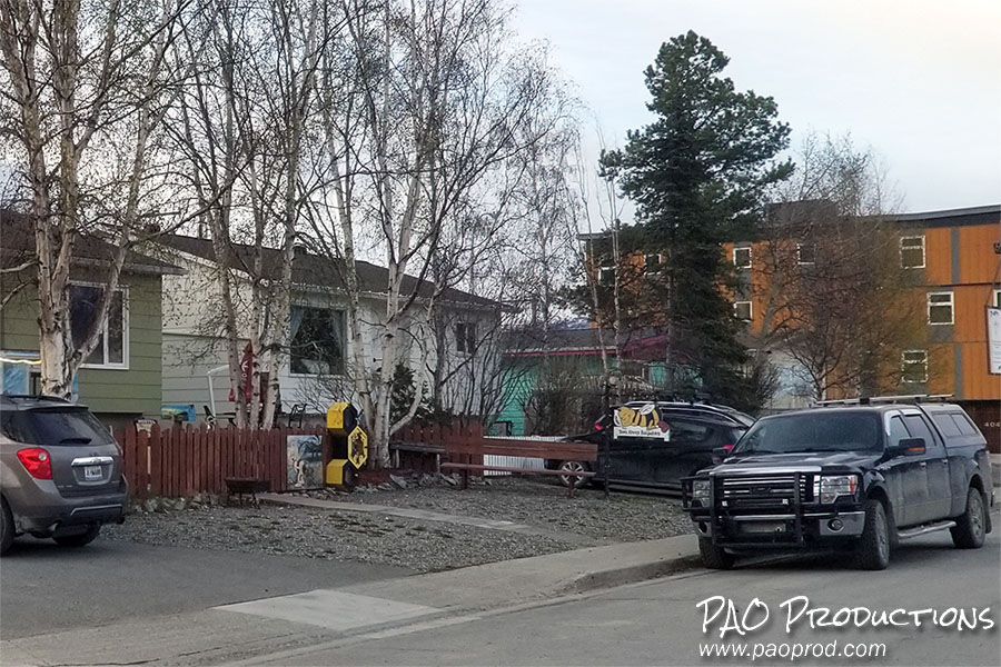
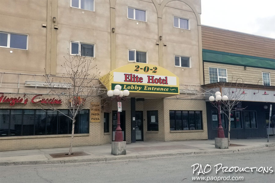
In Whitehorse you will also find urban conveniences such as banks, restaurants, large supermarkets, bars, bookstores, a movie theater, and a network of fully paved roads which will feel like a godsend after hundreds of miles of mostly gravel town streets. If you have the time, I recommend checking out some of what the town has to offer in the way of historical attractions, museums, and eateries. There are restaurants serving Indian, Mexican, Southeast Asian, and even Jamaican food (or at least there were as of May 2024). If vegan is your thing, then Antoinette's Restaurant on 4 Ave near Steele Street has you covered.
Beyond Whitehorse is where things get unpleasant. If you are planning to drive all the way to Anchorage or Fairbanks in one shot, I strongly suggest you get a very early start. I say this not just because of the distance involved, but also because the stretch of the Alaska Highway from Whitehorse to the U.S. border is the worst part of the entire drive. More than two and a half decades into the 21st century, this major international highway in North America is still riddled with gravel patches. Not temporary patches that occur as a byproduct of area construction, but built-in, permanent ones. And it's here where having a fuel efficient, compact car can come back to bite you. Gravel roadways are not kind to these vehicles or to any vehicle that sits low to the ground, and the experience of driving on gravel in one of these cars is, to put it as plainly as possible, miserable. A pickup truck will serve you much better, but you will end up paying for that advantage with the money spent on gasoline. My first encounter with gravel on the Alaska Highway occurred en route to Fort Nelson. It was one short, isolated patch, easy enough to write off as an annoyance, but it served as a harbinger of things to come.
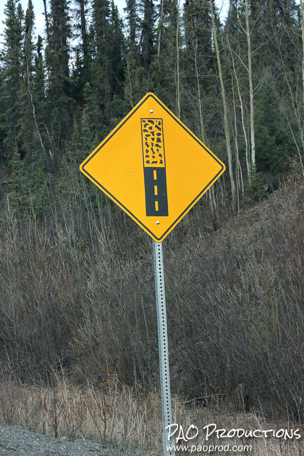
There are two main series of gravel patches along this portion of the route, the first of which lasts about fourteen kilometers and the second about sixteen, if memory serves. Each series consists of stretches of gravel roadway broken by occasional paved sections. Once you make it through the second series you are pretty much good to go from there to the Yukon-Alaska border, but getting to that point can be an exercise in frustration and may also involve the use of a lot of "colorful" language.
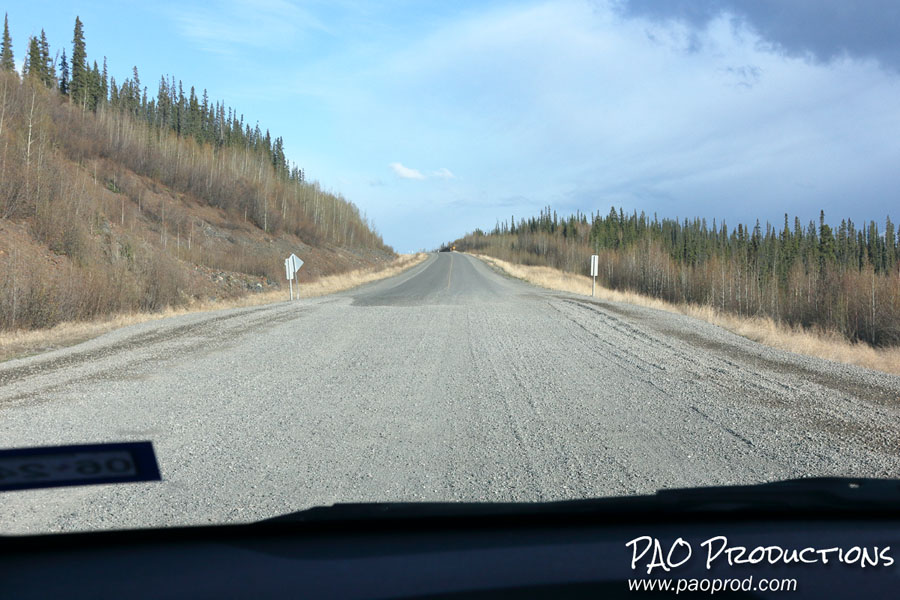
The Canadian border checkpoint is about 40 kilometers from the international border, just outside the settlement of Beaver Creek, on the southbound side of the highway. You do not need to stop there for inspection on the way toward Alaska. Beaver Creek has motels and RV parking; it's also the last chance to turn around before committing to a border crossing and having to go through customs on either side. If you have enough fuel left in the tank and you're sure you can make it, you might consider holding out for gas 100 miles away in Tok, Alaska to save money, but I wouldn't risk it.
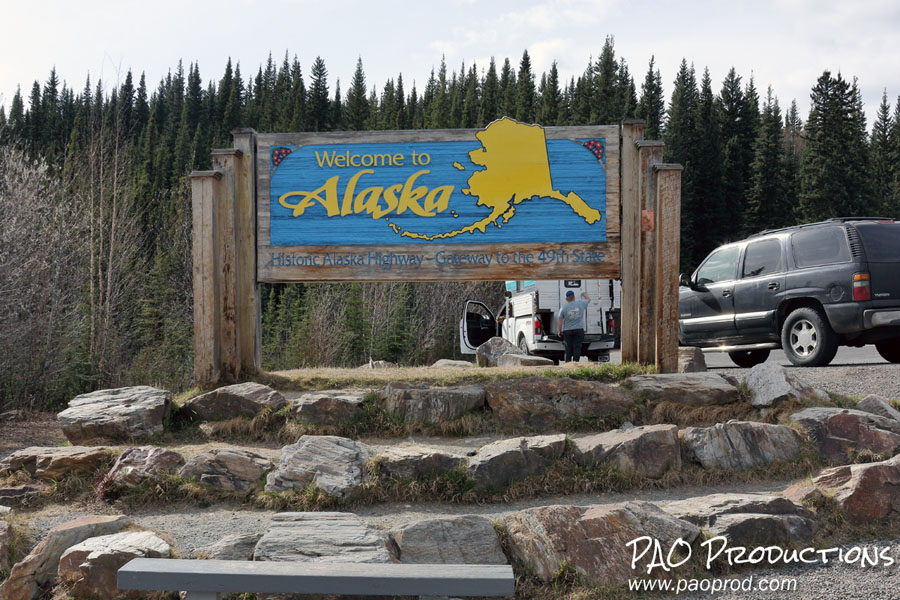
The Alaska Highway crosses into its namesake territory approximately 1,168 miles from its beginning in Dawson Creek. The actual boundary line hosts a small, international rest area straddling both sides of the border, followed by an abrupt changeover to mile-based signage and a U.S. Border Patrol checkpoint a short distance ahead. The Alaska Highway continues to Tok, where it splits with the Glenn Highway to go to Fairbanks while the Glenn carries travelers to Anchorage. I took the route to Anchorage, so my account of traveling the Alaska Highway ends here. I can say that the portion of the highway inside Alaska is very well maintained compared to its Yukon counterpart, at least as far as Tok, and that at least the Glenn (later Seward) Highway to Anchorage goes through remote areas that rival any of those on the Canadian side of the border.
Hopefully, my experiences and recommendations will prove to be of value to anyone considering a similarly audacious road trip to the Last Frontier state. The journey is pretty straightforward as long as you prepare in advance, use a reliable vehicle, and plan sufficient time (and endurance) for what will be a very long time spent inside the car. Safe travels!